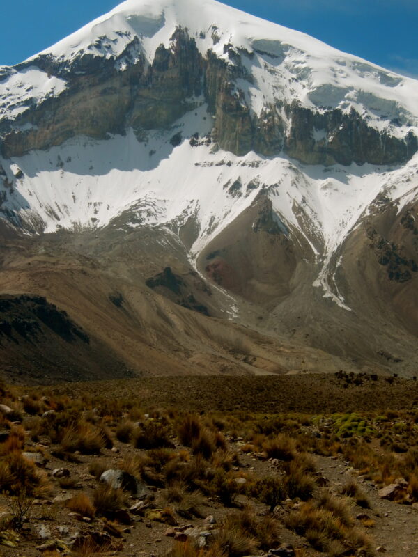
Parinacota @ 21K
Arden and I started the adventure from La Paz visiting the many museums and also rode bikes on the entire “Death Road” starting at about 15,300 feet in snow and ended at about 3,900 feet in warm humid air and Arden got lost wow . Please go to Bolivia country section for details. This trip was provided by
Marco Soria and family (photo below), the owner of BOLIVIAN JOURNEYS did a great job providing excellent service and great friendship.
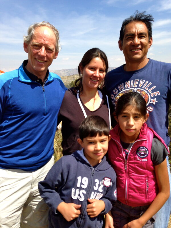
![]()
They can be located @ www.bolivianjourneys.org. While in Bolivia we climbed
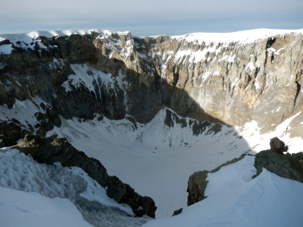
Parinacota (20,900 feet) is an active (fumeroles) stratovolcano and had its last real eruption about 1700 years ago. The crater is about 300m wide and 250m deep and young lava flows on the peak’s western side is a proof of quite recent activity.
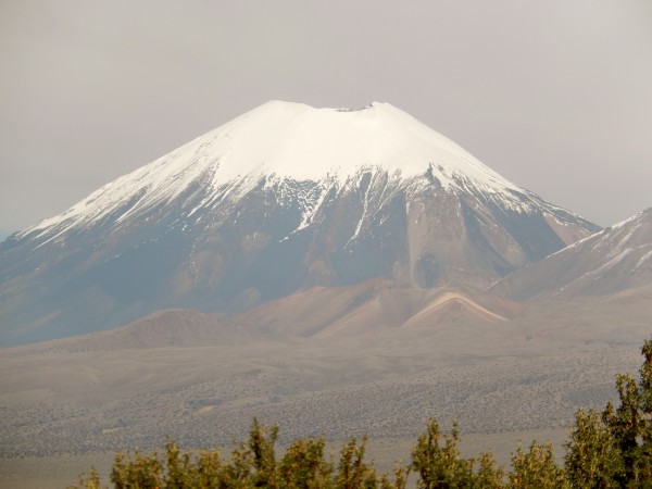
Because of its almost perfect symmetry and good-looking snowcap, the peak has become a favorite for climbers. The normal route is a walk on scree and later ice/snow and as the inclination seldom becomes steeper than 40 degrees.
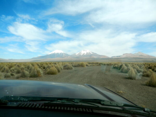
Our journey started from La Paz Bolivia (crossed borders without going through customs) and traveled to Sajama Village (base camp in about 5.5 hours.
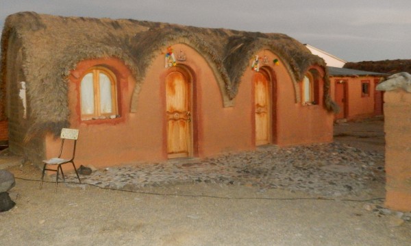
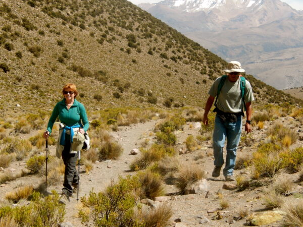
This was a cute town and we stayed on an adobe hut and had two days of hiking to acclimatize. We climbed to base camp on Sajama – the highest mountain in Bolivia (Arden below on way to base camp)
Sajama below
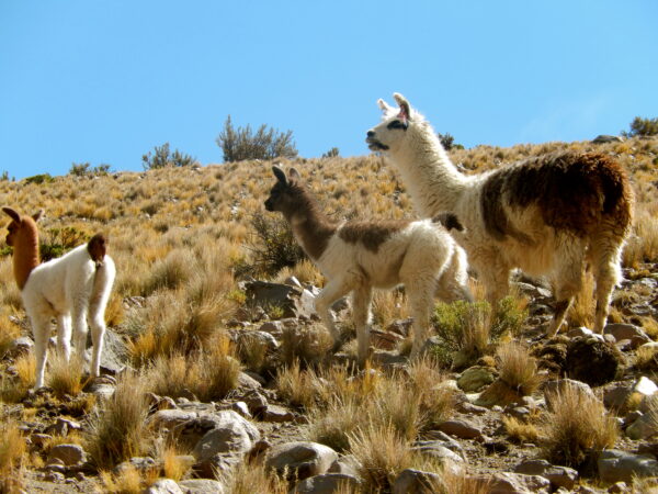
LLamas below
From Sajama village there’s a sandy track leading to the foot of the Parinacota peak. Leaving the village below in the Toyota

On the sandy road to base camp below
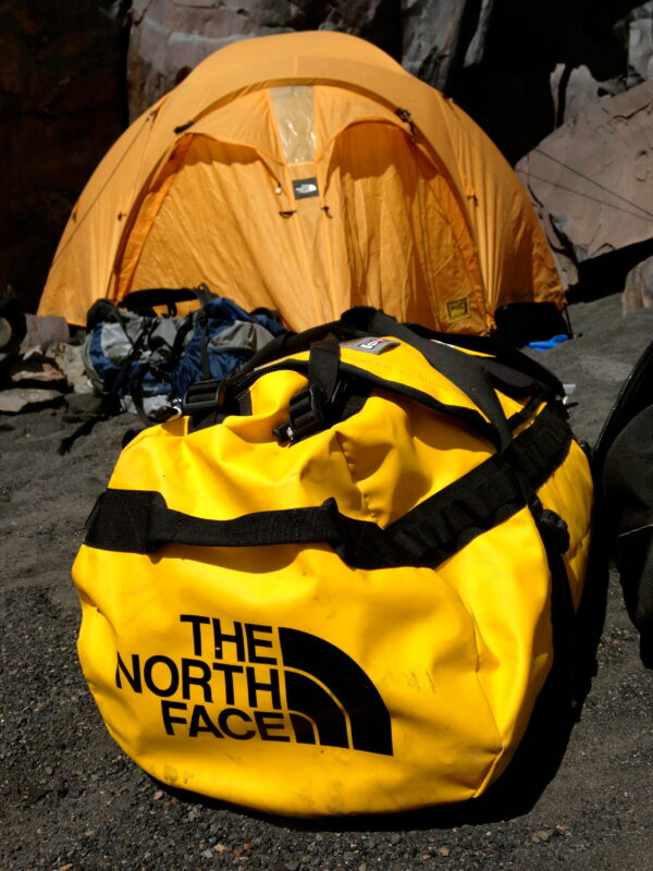
Setting up base camp below
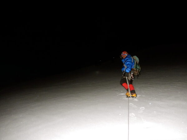
There is a Refugio on the southern side of Lago Chungara, which can serve as a base for the night as well at about 16,500 feet. We choose to camp there (Above) and it was windy but not that cold. Technically speaking, Parinacota is a very straightforward climb, but with high elevation so is sure to bring an axe and crampons as there is quite a bit of ice and snow. Also bring a helmet as we experienced some rockslides as well. I started the climb at 2 Am hiking through scree fields until reaching the snow-ice fields at about 4 am. The ice is a relief as there was no slipping with our crampons. Climbing to the top at night below notice the rope and crampons and ice
about 5 Am below belfore sunrise
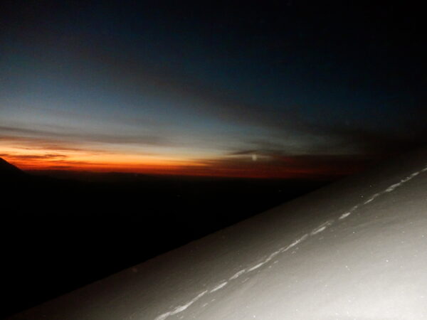

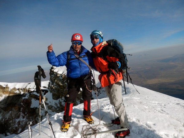
Sunrise above, not at summit yet. We reached the summit at about 7 Am after sunrise below
and notice the volcan walls
and then started our trek back to base camp through the snow below
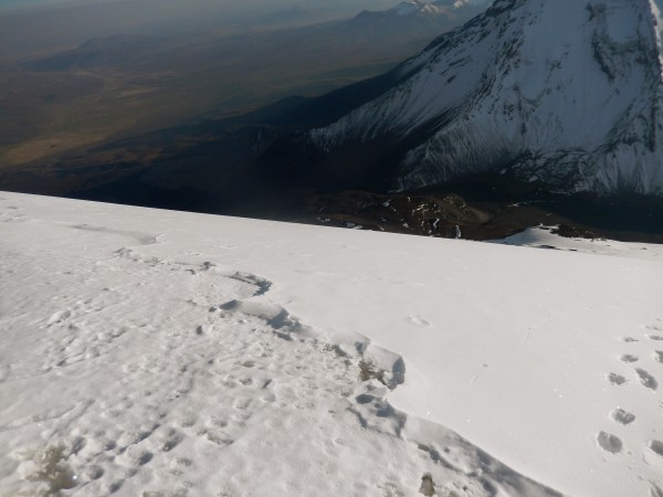
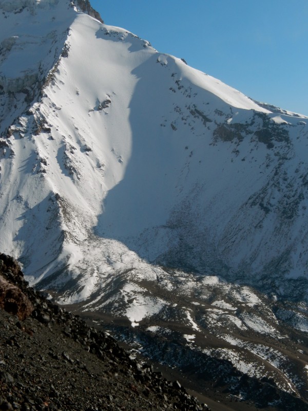
The scree field below another cool mountain as well
You can see you steep the scree is above wow my legs were tired was back in camp at about 9:30 AM after descending some dicey rocky slopes below –
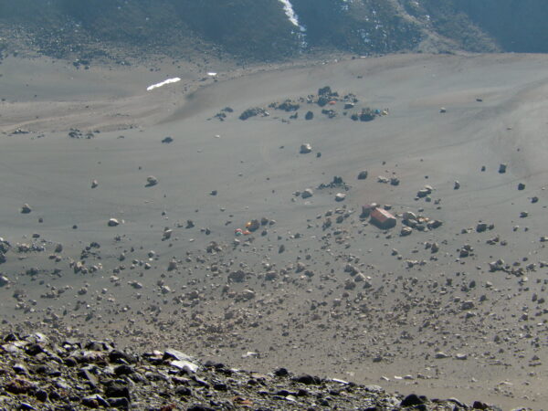
see the refuge above, we were over by the far rocks camping and yes it was successful and our base camp and refugee below